Discover the Top 10 Hiking Trails in Los Altos, California
About Town

About Town
Los Altos, nestled in the heart of Silicon Valley, offers a blend of suburban tranquility and natural beauty. For outdoor enthusiasts, the area boasts numerous hiking trails that showcase California's diverse landscapes. As a local realtor, I often highlight these trails to clients exploring Silicon Valley real estate. Here are the top 10 hiking trails in Los Altos, each offering unique experiences and breathtaking views.
This challenging trail leads to one of the highest accessible summits in the Bay Area. Hikers traverse through forests and chaparral, rewarded with panoramic views of Los Altos Hills and beyond. The trail's elevation gain and diverse terrain make it a favorite among seasoned hikers.
Location: Black Mountain via Rhus Ridge Trail
This moderate loop trail offers a mix of shaded paths and open meadows. Hikers can enjoy a few pleasant views of Los Altos while hiking along the trail. The trail's diverse scenery and moderate difficulty make it accessible for most hikers.
Location: Rogue Valley, Wildcat, and Upper Wildcat Loop
This 3.4-mile loop trail near Los Altos offers a moderately challenging route. Hikers can enjoy a few pleasant views of Los Altos while hiking along the trail. The trail's accessibility and scenic views make it popular among locals.
Location: Ewing Hill Loop
The Page Mill Trail descends to the creek bed and crosses the creek via a wooden bridge. Rolling along the hillsides for the 1.4 miles, the trail moves through woods and fields. The trail's gentle terrain and natural beauty make it ideal for a leisurely hike.
Location: Page Mill Trail

This trail begins to descend toward the creek. It is a dirt trail that is covered in leaves, that makes for easy hiking toward the creek. The trail's serene environment and creekside views offer a peaceful hiking experience.
Location: Lost Creek Loop Trail
The Pipeline Trail is a 0.5-mile point-to-point trail that offers a moderately challenging route. The trail's short distance and moderate difficulty make it suitable for a quick hike.
Location: Pipeline Trail
Chamise Trail is a 2-mile green singletrack family-friendly trail located near Los Altos, California. This hike primary trail can be used both directions and has an easy overall physical rating. The trail's family-friendly environment and easy terrain make it perfect for a casual hike.
Location: Chamise Trail
This 2.4-mile loop trail offers a moderately challenging route. Hikers can enjoy a few pleasant views of Los Altos while hiking along the trail. The trail's combination of natural beauty and moderate difficulty makes it a favorite among hikers.
Location: Hostel/Grapevine/Creek Trail Loop
This preserve offers multiple trails catering to various skill levels. Hikers can enjoy a few pleasant views of Los Altos while hiking along the trail. The preserve's extensive trail network and scenic beauty make it a must-visit for outdoor enthusiasts.
Location: Rancho San Antonio Open Space Preserve
Foothills Park is 2.7 miles west of 280 after exiting Page Mill. After exiting you take a short scenic drive up the hill and come to the park entrance on your right. Like any typical park it's open from sunset to sundown and you wont have to worry about parking or any fees.
Location: Foothills Park: Boronda Lake
Exploring these trails offers a glimpse into the lifestyle that Los Altos and the greater Silicon Valley area provide. As a Silicon Valley realtor, I understand that proximity to such amenities significantly influences property values and the quality of life. When considering California real estate, it's essential to work with a realtor who knows the local market intimately.
At Illuminate Properties, we offer personalized services to help you find a home that aligns with your lifestyle preferences, whether it's access to hiking trails, top-rated schools, or vibrant community events.
Stay up to date on the latest real estate trends.
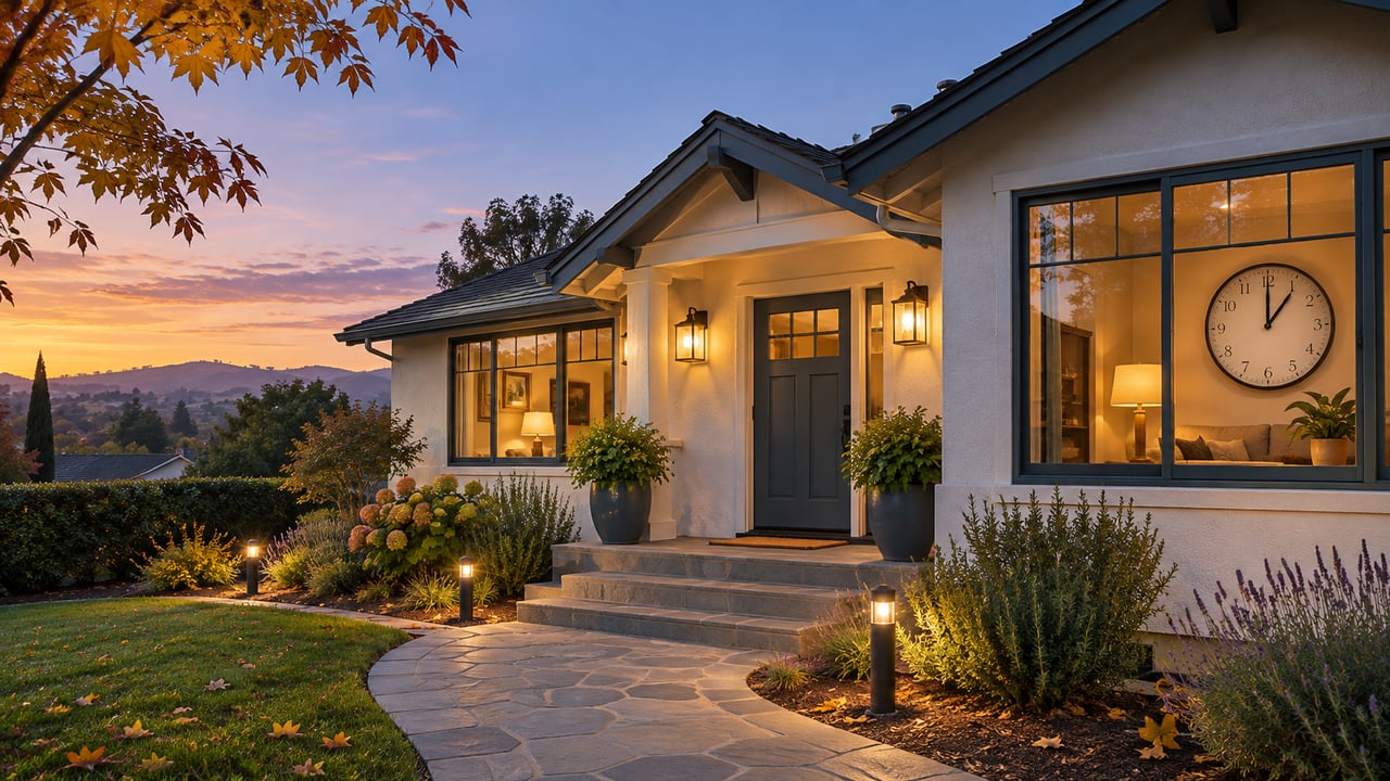
Daylight saving time has ended, making it a good opportunity for Silicon Valley homeowners to review their clocks, smart-home schedules, exterior lighting, smoke alarm… Read more

Pets are becoming an important part of the homebuying process. This blog explores the home features and neighborhood amenities pet owners may prioritize, including sec… Read more
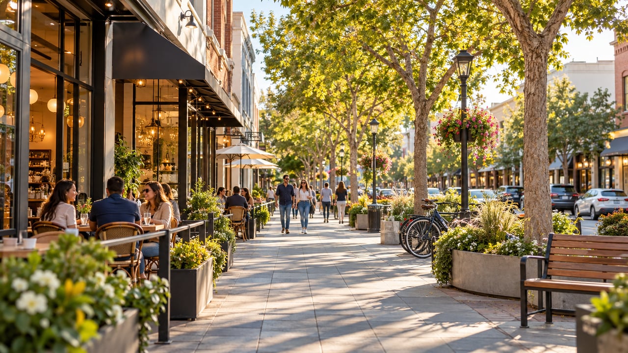
Explore Downtown Mountain View, where established residential streets meet Castro Street’s restaurants, shops, community spaces, and convenient public transportation. … Read more
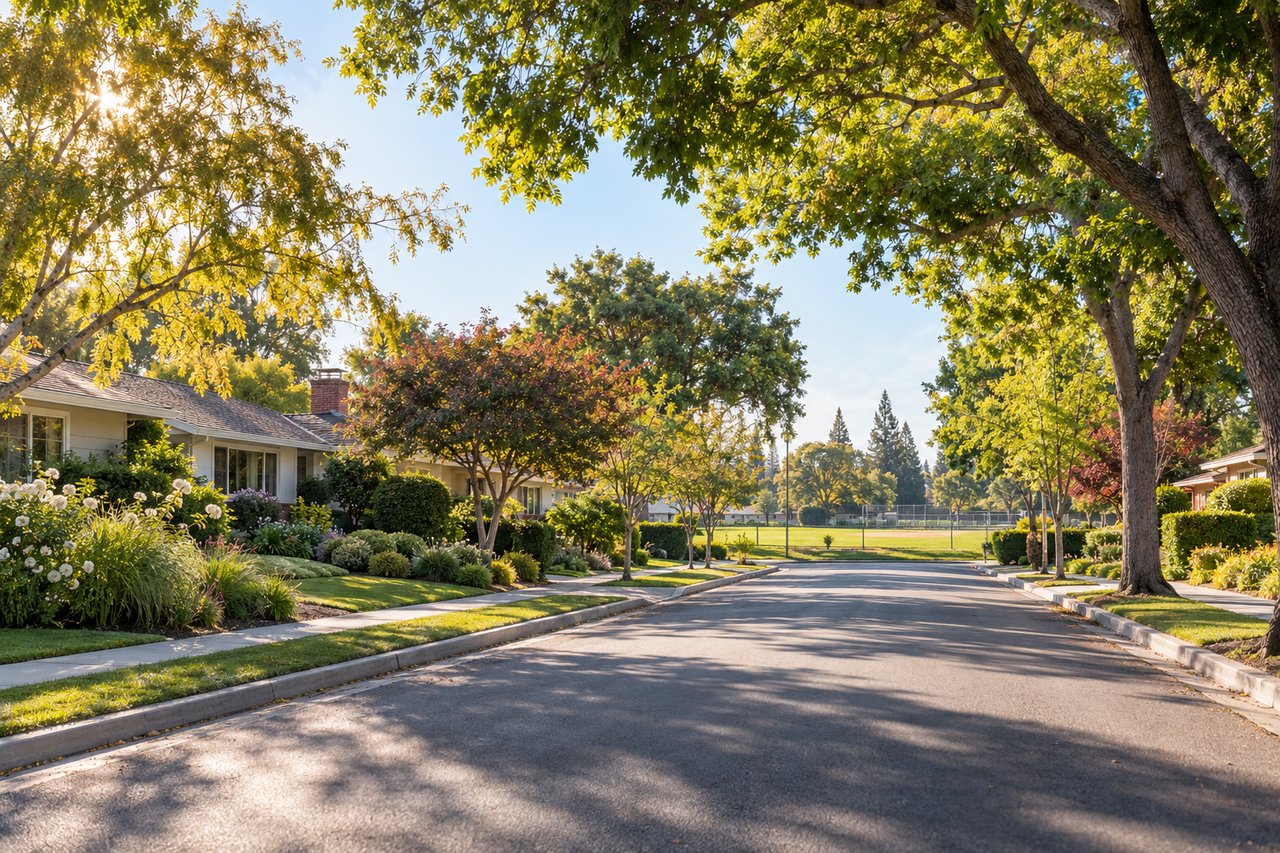
Explore St. Francis Acres in Mountain View, including its homes, McKelvey Ball Park, nearby amenities, schools and Silicon Valley connections.
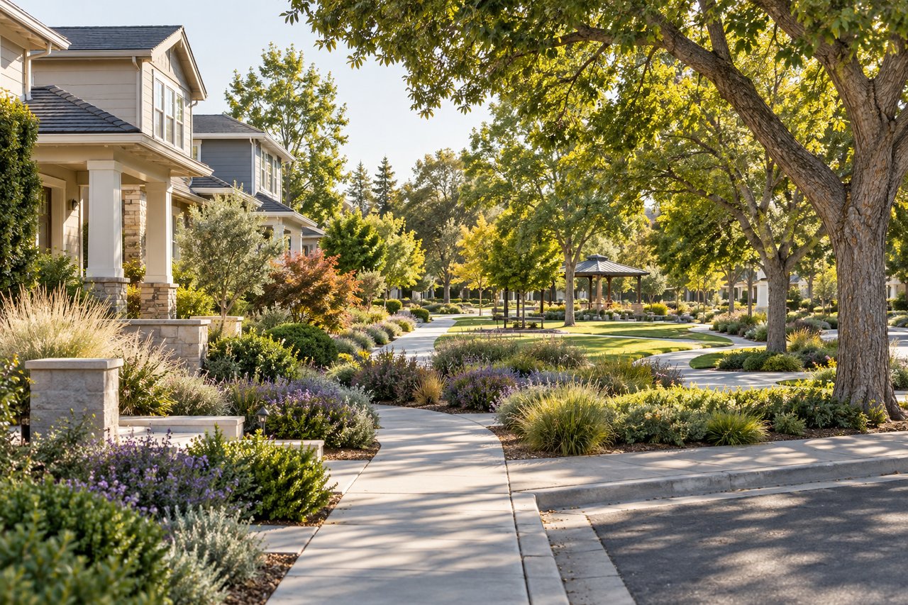
Explore Blossom Valley in Mountain View, including its homes, parks, schools, nearby amenities and convenient access to Los Altos and Silicon Valley.
Explore Cuesta Park in Mountain View, including homes, park amenities, nearby schools, healthcare, shopping, and convenient Silicon Valley access.
You’ve got questions and we can’t wait to answer them.


